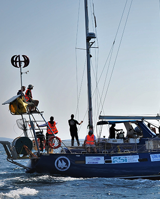
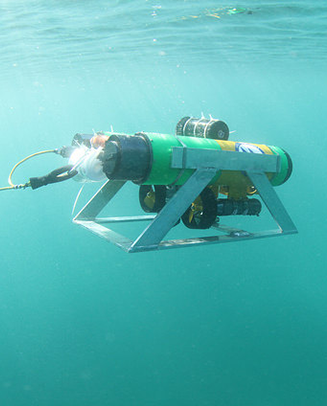
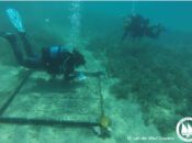
Accurate maps depicting the location of protected habitats is key for the effective management and conservation of biodiversity hotspots. Unfortunately, the lack of accurate mapping in this region limits the extent of conservation action that can be implemented and enforced. The Archipelagos GIS team assists in collecting, interpreting, and visualizing data in all marine projects with the support from our research vessel the ‘Aegean Explorer’, scientific-equipped kayaks and satellite data. Main data sources for the GIS team are collected from an array of important scientific tools, such as a down-scan sonar, multibeam, biomass scanner, ROV and many more. We are involved in many national and international projects to improve the spatial data for the Mediterranean Sea.


")